Panoramarundweg
Type of tour:Hiking
-Difficulty:easy
Duration2:00 h
Length7.9 km
Ascent109 hm
Descent109 hm
Elevation profile
Description
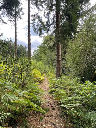
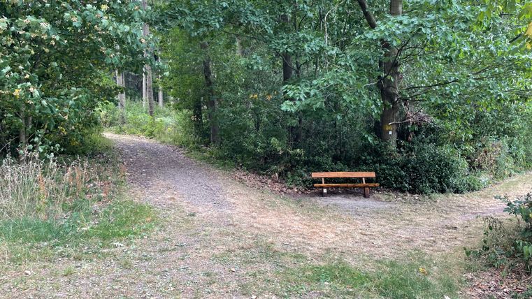
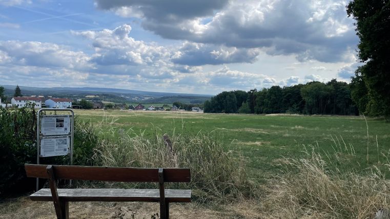
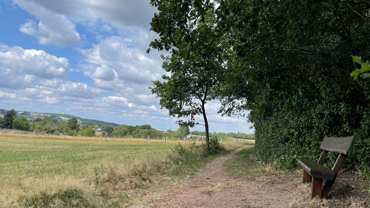
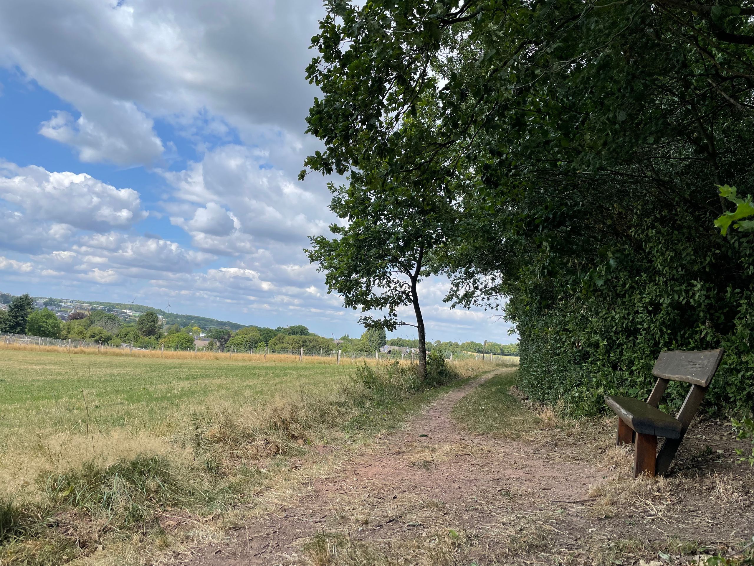
A varied panoramic trail that combines history and nature around Mausbach. The route leads past former campsites, striking viewpoints, historic springs and relics such as the remains of the Westwall. The traditional Roman road and beautiful views also make this hike particularly varied and exciting.
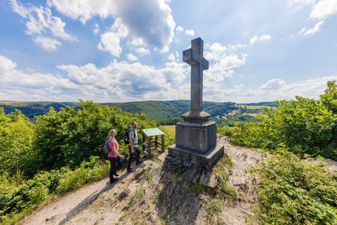
The panoramic circular trail around Mausbach connects numerous historical and scenic points. From the Diepenlinchen settlement, the trail first leads past the former camp from the National Socialist era and on to the water tower. From there, the descent to the Cholera cross opens up in a northerly direction. The route then runs along the western edge of the village to the source of the Mausbach - the stream that gave the village its name.
The circular route continues eastwards through the Erlbusch, where the remains of a rampart can be found. You then reach Krewinkel, a district through which the historic Roman road runs. This is where it once marked the border between the imperial abbey territory of Kornelimünster and the territory of the Duchy of Jülich.
- Identification color: orange
- Length: 7.8 km
- Duration: 3.5 hours
Further information at: https: //stolberg-aktiv.de/panoramarundweg/