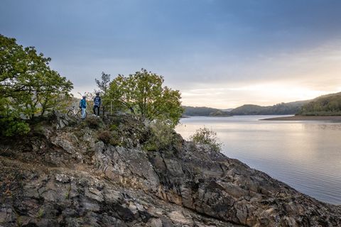
A varied panoramic trail that combines history and nature around Mausbach. The route leads past former campsites, striking viewpoints, historic springs and relics such as the remains of the Westwall. The traditional Roman road and beautiful views also make this hike particularly varied and exciting.
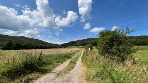
The level hiking trails through the open Drover Heath, across meadows and sparse woodland, some of which lead over wooden footbridges, offer special insights into the habitat of rare flora and fauna.
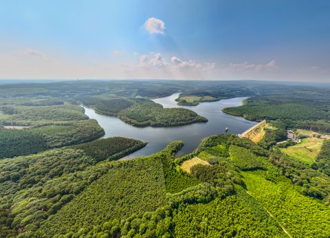
"...this hike takes hikers around the sleepy Eifel village of Obermaubach and offers beautiful views of the village with the reservoir from the heights "The "Kreuzauer Busch" hike starts and ends in Obermaubach and leads around the approx. 400 m high Bovenberg, from where there are beautiful views of the village and the reservoir. Obermaubach has almost 1000 years of history. The county of "Molbach" was first mentioned in 1152. It was named after a mill. The old German term "Mole" was derived from the Latin "molo" for mill. A moated castle, the "Castrum Molbach", probably stood near today's mill from the 12th to 17th century. The name eventually changed from Molbach to Maubach. We follow the signposts 73.