Type of tour:Hiking
-Difficulty:moderately difficult, difficult
Duration3:20 h
Length12.1 km
Ascent361 hm
Descent361 hm
Elevation profile
Description
Distance: 12.1 km Starting point: Church in Simmerath-Kesternich
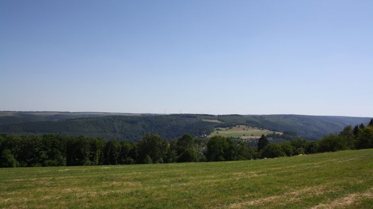
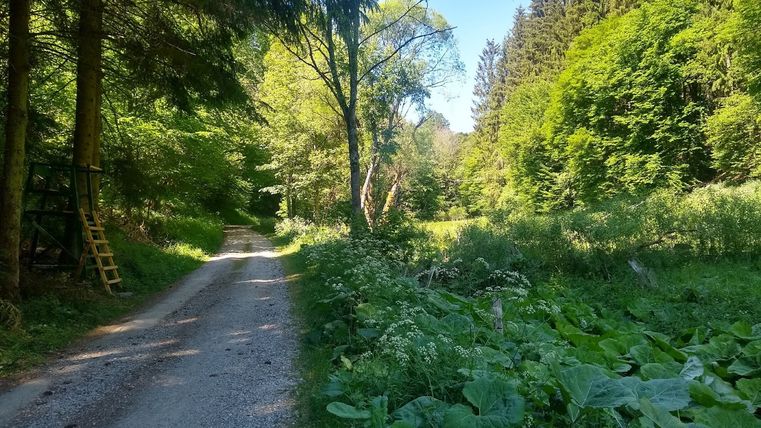
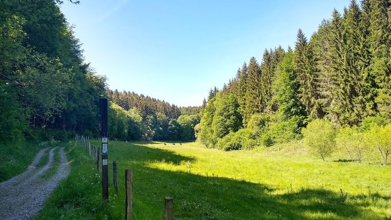
The circular trail connects the two river valleys of Eiserbach and Tiefenbach. From the church in Kesternich, the hike runs through the meadow landscape around the village and leads to the Aussiedlerhöfe farms. The trail then meanders through the two valleys. The former oil mill is located on the Tiefenbach stream. The hike leads along the bubbling stream back up to Kesternich.
Highlights of the tour
- Church of St. Peter and Paul
- Settlers' farms
- oil mill
- Tiefenbach valley