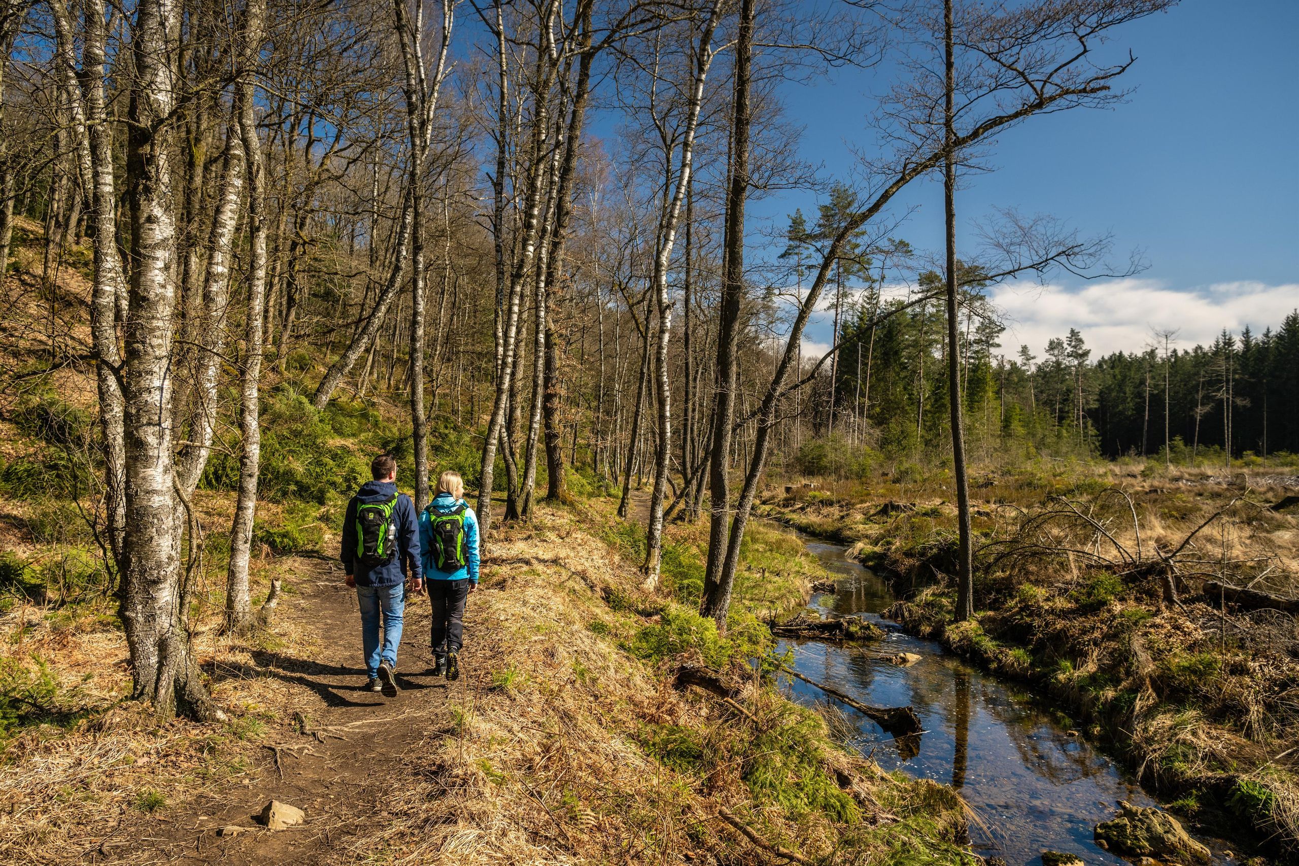
Copyright: Städteregion Aachen, Dominik Ketz
Wasser für Mensch und Landschaft – die Wehebachtalsperre
Stolberg
A flooded valley became a dam—today it supplies water to people, protects valleys, and shapes the landscape.
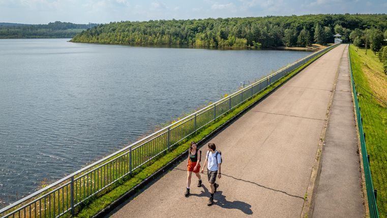
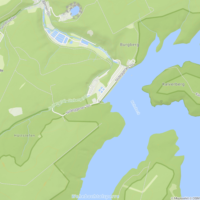
The Wehebachtalsperre was built between 1977 and 1981 and began operations in 1983. Since then, it has not only secured the region’s drinking water supply but also served as flood protection. Its massive concrete walls hold back the water from three tributaries, forming a widely branching lake with a storage capacity of around 25 million cubic meters.
Standing atop the dam, one can gaze far out over the water and forest. Here, it becomes clear just how closely supply and protection, intervention and conservation are intertwined.
When the water level drops, a piece of the past becomes visible: a section of the old Highway 11 reemerges—a silent reminder of the valley that once lay here before it was flooded.
This route was developed as part of the LEADER-funded project “Quality Initiative for Hiking in Roetgen and Stolberg” with support from the European Union (EAFRD) and the state of North Rhine-Westphalia.
Impressions

Contact
Rundweg Wehebachtalsperre
52224 Stolberg