Copyright: Rureifel-Tourismus e.V.
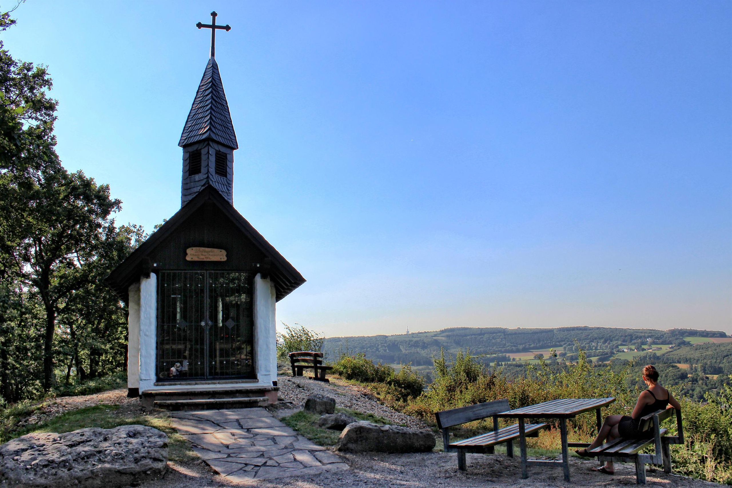
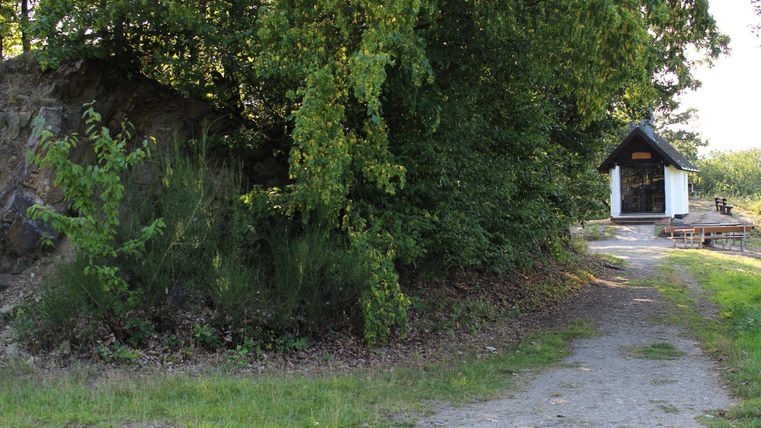
Eifel-Blick "Waldkapelle"
Kreuzau
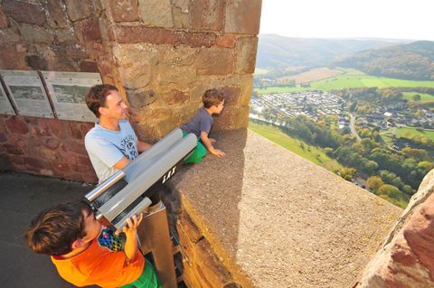
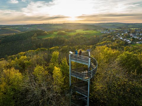
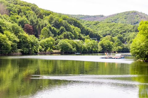
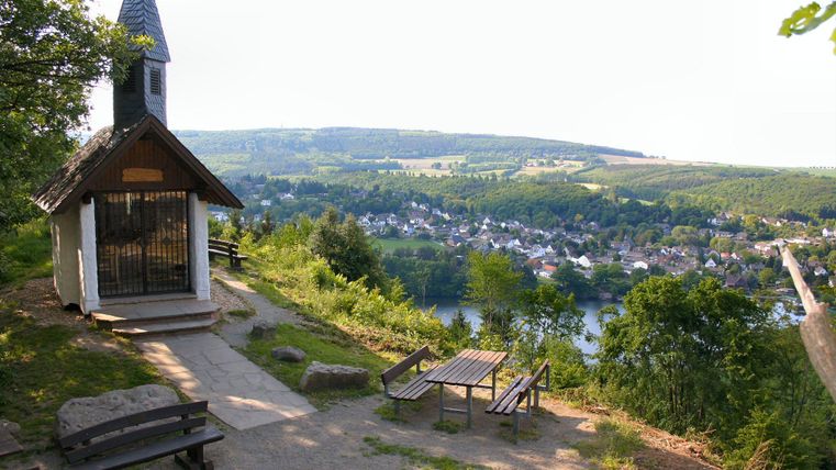
This Eifel view on the Mausauel, above the Obermaubach reservoir, is located at an altitude of 250 m above sea level and offers you a view in a northerly (westerly) direction beyond the reservoir to the last hills of the northern Eifel before the transition to the Jülich-Zülpicher Börde.
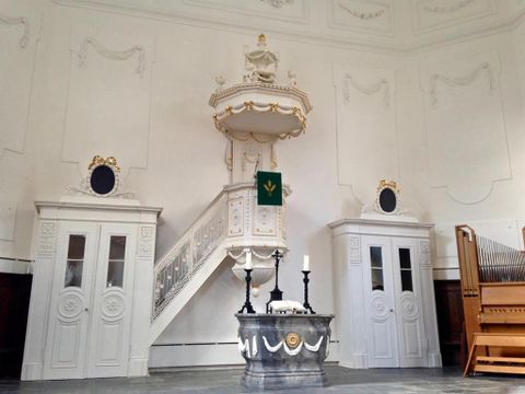
The forest chapel was built by members of the "Obermaubach Working Group" between December 1994 and May 1996.
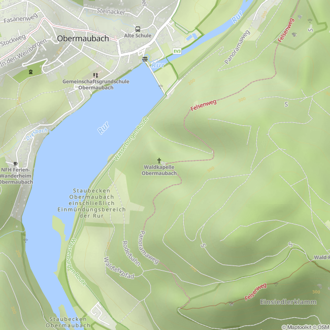
You can experience the Eifel view "Waldkapelle" on a hike along the rock passage or by mountain bike on MTB route C, Seeblick.
How to get there:
From Düren and the Cologne area via the L 249 to Kreuzau, then follow the signs to Obermaubach via the K 39 or 30. From Heimbach via the L 249 to Kreuzau, then follow the signs to Obermaubach via the K 39 or 30. From the Bonn area via the B 56 to Soller, after the village change to the K 28 in the direction of Kreuzau, then follow the signs to Obermaubach via the K 39 or 30. From the Aachener and Monschauer Land region, take the B 399 to Gey, then change to the K 31 towards Untermaubach. In Untermaubach, follow the K 30 to Obermaubach. From Heimbach via the L 249 to Kreuzau, then follow the signs to Obermaubach via the K 39 or 30
Please use the parking spaces at the entrance to Obermaubach or at the dam wall. From there, follow the signs to "Eifel-Blick" for approx. 3.25 km.
Contact
Rureifel Tourismus GmbH
52372 Kreuzau