Copyright: Kupferstadt Stolberg, Dominik Ketz
12 - Erinnerungstour
Type of tour:Hiking
-Difficulty:moderate
Duration3:00 h
Length10.1 km
Ascent175 hm
Descent175 hm
Elevation profile
Description
On the Trail of World War II
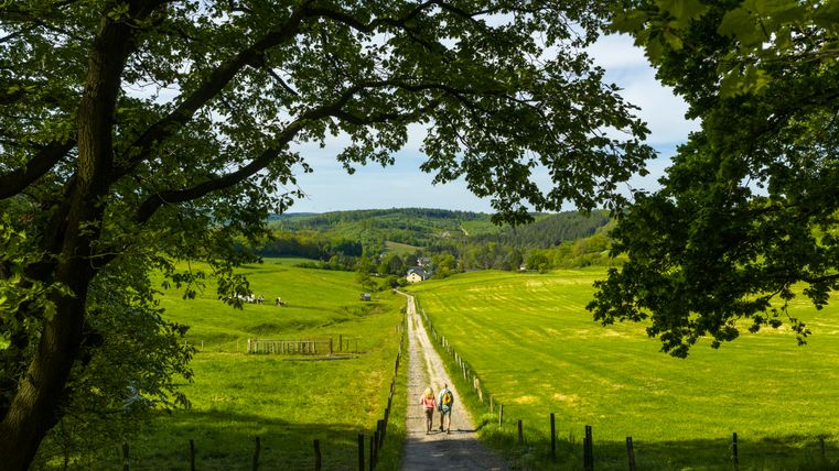
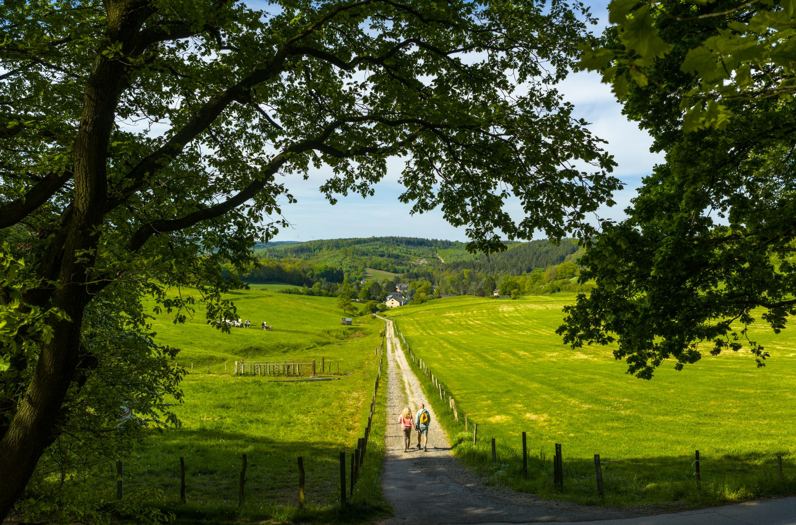
The memorial tour winds through the forests and hills around Süssendell and Mausbach. Remnants from World War II can still be found along the route today. Spanning about ten kilometers, the route connects technical relics—such as water bunkers and Westwall bunkers—with scenic overlooks and the Mausbach War Cemetery.
Six stops provide insight into the region’s wartime history, the infrastructure of that era, and the transformation of the area—from a site used for military purposes to today’s cultural landscape.
A hike for anyone who wants to experience history not just in archives, but right on the ground—amidst forests and fields, at quiet places of remembrance, and at structures dating from World War II.
The hike is marked with the number 12.
Highlights of the route
- Water and Siegfried Line bunkers as relics of military infrastructure
- The Mausbach War Cemetery as a place of quiet remembrance
- Traces of the war in the terrain: trenches, foundation remains, altered landscape features
- View of the Vicht Valley
This route was developed as part of the LEADER-funded project “Quality Initiative for Hiking in Roetgen and Stolberg” with support from the European Union (EAFRD) and the State of North Rhine-Westphalia.