Copyright: Rureifel-Tourismus, Michelle Wiesen
23 - Bunkerweg
Type of tour:Hiking
-Difficulty:moderate
Duration2:30 h
Length9.3 km
Ascent130 hm
Descent130 hm
Elevation profile
Description
Distance: 9.3 km Starting point: Simmerath-Strauch village square
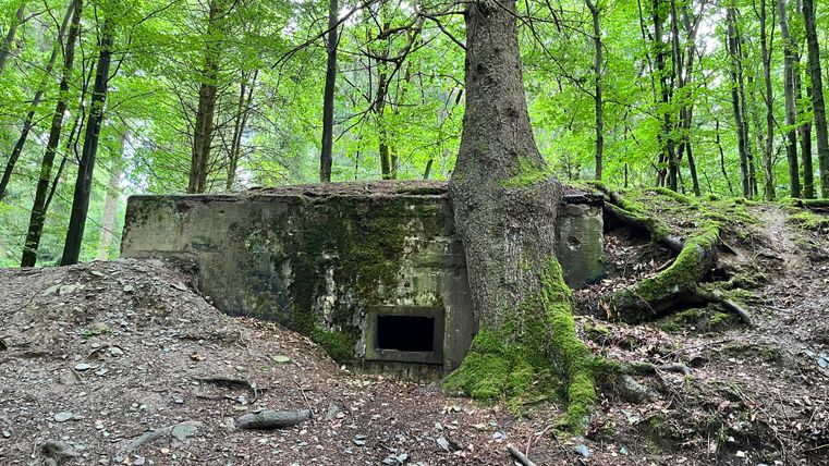
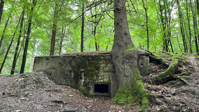
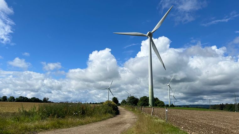
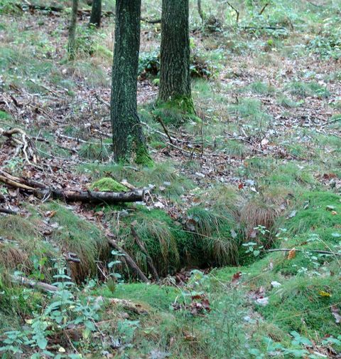
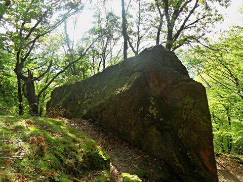
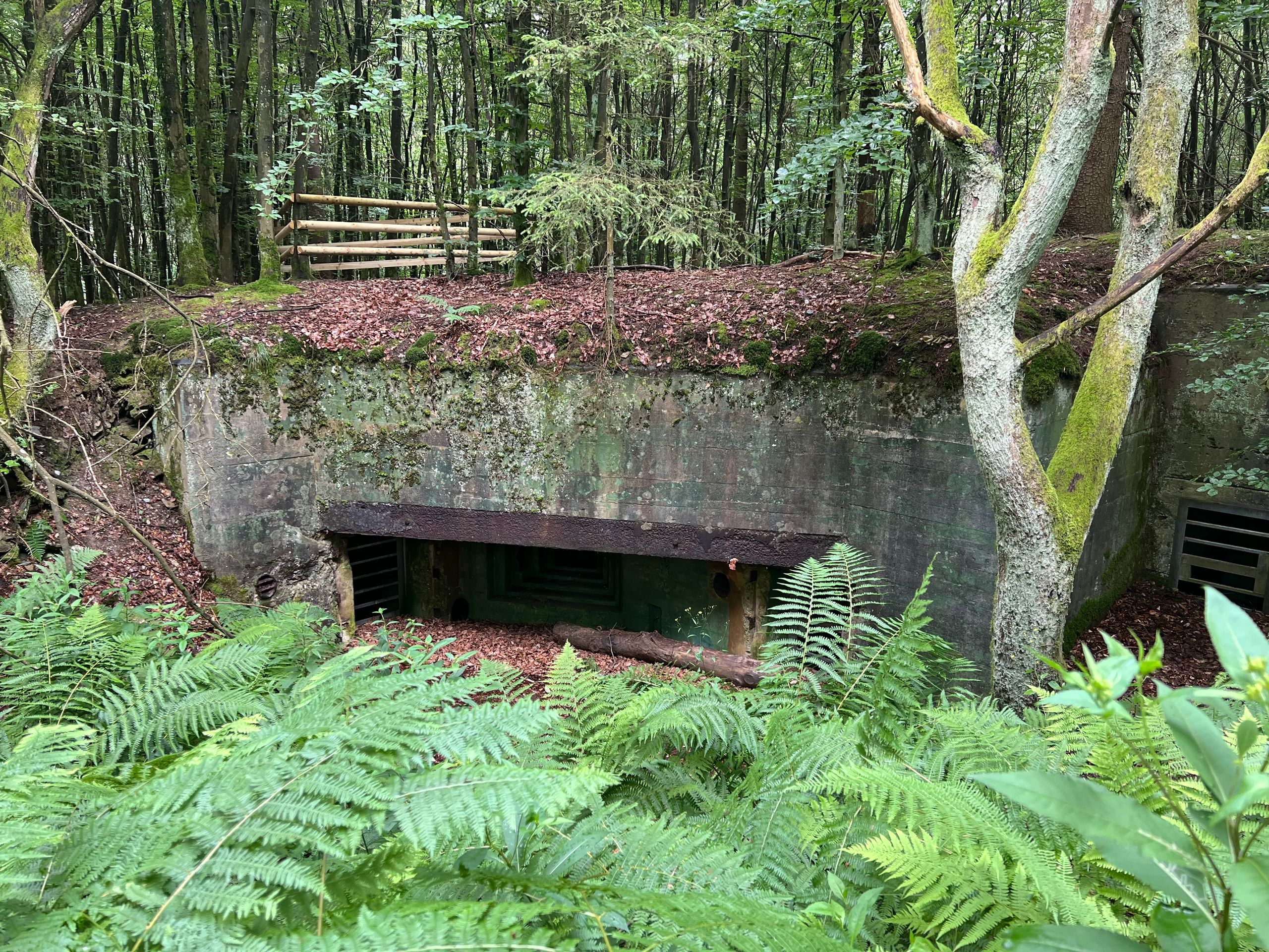
After starting at the church of St. Matthias and the associated village square, you reach the Tiefenbach valley and the southern foothills of the Buhlert to the north of Strauch. The Buhlert forest is known for the Westwall bunkers that have been preserved to this day. The route leads back to Strauch through a typical Eifel field landscape.
Highlights of the tour
- St. Matthias church
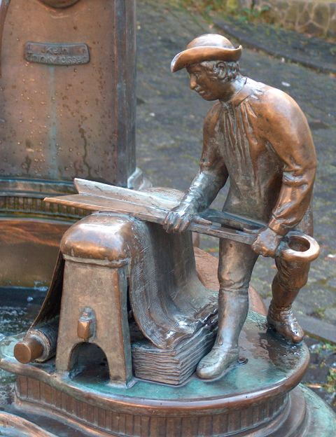
- Strauch village square
- Bunker in Buhlert