Copyright: Kupferstadt Stolberg, Tim Stroeks
Pingen und Packen
Stolberg
The subject of the old “Pingen and Packen mining” in the Stolberger district was, alongside coal, lead, and iron ores, particularly the galena. The designation “Pingen and Packen” refers on one hand to the method of granting mining rights, known as “Packenberechtigung,” and on the other hand to the ground depressions left after the closure of the mines (“Pingen”).
Mining techniques of earlier times
In the Stolberger district, the old “Pingen and Packen mining” was focused on coal, lead, iron, and particularly on galena. Galena was of central importance as it formed the basis for brass production.
The mining of iron, lead, and galena in the region can be traced back to the Roman era. The term “Pingen and Packen” is explained on one hand by the method of granting mining rights, the so-called “Packenberechtigung,” and on the other hand by the ground depressions left after the closure of the mines, which are referred to as Pingen.
In traditional Pingen and Packen mining, the exposed galena, which was usually only a few meters below the groundwater level, was extracted in open-pit mining. Despite the rudimentary technical tools of the time, extraction depths of 40 to 50 meters were achieved in dry years.
The work was predominantly carried out in a self-employment manner. By the beginning of the 19th century, most galena deposits in the Stolberger area had already been largely depleted.
With the increasing ore demand of the growing Stolberger metal industry, the amount of extraction rose, and it became necessary to access deeper deposits. This led to the industrial deep mining on the mining field “Diepenlinchen” in the mid-19th century.
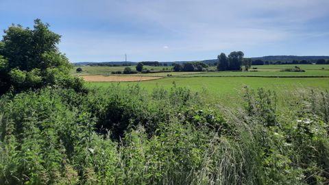
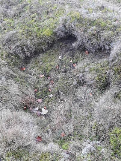
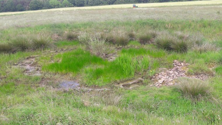
In earlier times, the area was characterized by a distinctive Pingen landscape. However, throughout the 20th century, the fields were leveled by farmers. Photos of the former mining field Breinigerberg provide an impression of the once mining landscape near Diepenlinchen.
Impressions
Contact
Feierabendrunde
52224 Stolberg-Mausbach