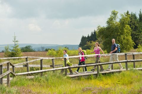
Copyright: Eifel Tourismus GmbH_Tobias Vollmer
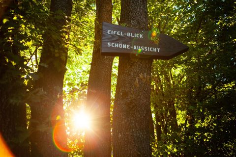
Eifel-Blick "Worbelescheed" in Simmerath-Eicherscheid
Simmerath
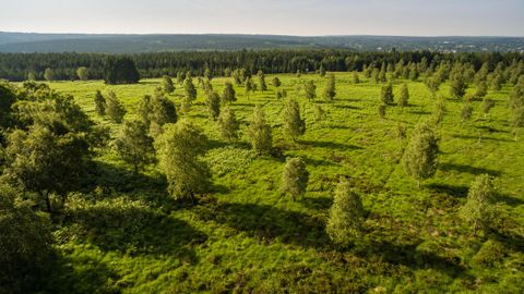
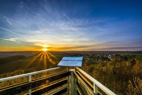
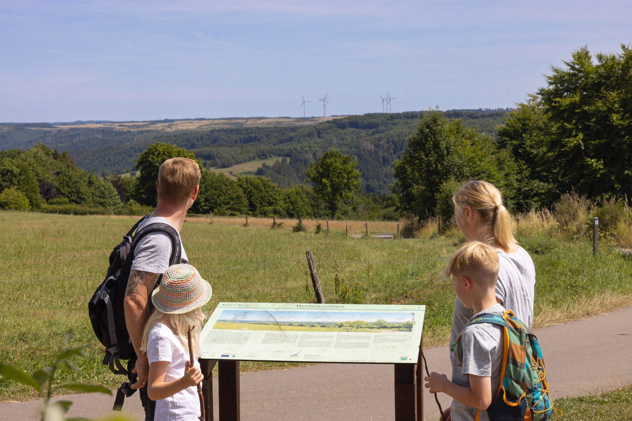
The Eifel viewpoint "Worbelescheed" is located at an altitude of 530m and offers a fantastic panoramic view over the extensive mountain range and the Eifel National Park with the Kermeter and Dreiborn plateau. The many wind turbines in the distance belong to the wind farms in Dreiborn and Schöneseiffen.
The unusual name of the Eifel-Blick is derived from the two words Worbele (=blueberries) and Scheed (=sheath, border). The field name therefore indicates that the "blueberry border" is located there.
The panorama board on site helps with orientation and provides interesting information about the visible landscape.
The Eifel-Blick "Worbelescheed" can only be reached on foot, parking is available in Eicherscheid and Huppenbroich.
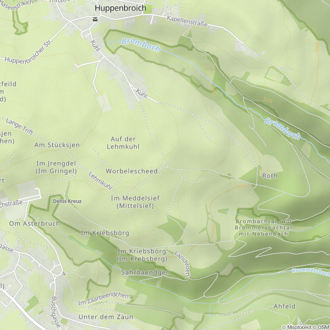
From the Eicherscheid sports field parking lot (50.580450, 6.309308), the trail leads along a paved dirt road with a slight incline to the Eifel-Blick.
From the parking lot at the chapel in Huppenbroich (50.589927, 6.316547), the trail leads through the village and then along a paved, largely flat dirt road.
A visit can easily be combined with a hike. The local circular hiking trail Flurheckenweg (No. 17) leads directly past the Eifel-Blick.
Impressions
Contact
Rureifel Tourismus GmbH
52152 Simmerath