Distance:13.8 km
Duration:3:41 h
Difficulty:Medium
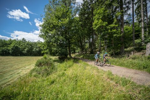
We look forward to welcoming you to the Braugerstenpfad in the Zülpicher Börde. Ahead of you lies an almost four-hour hike on mostly quiet paths between fields and meadows, with almost endless views as an encore.
Since the beginning of our era, Western Europe has been cut through by fortified border fortifications, such as the Roman Limes, the medieval castle line or the forts of the 19th century.
As soon as snow falls in the Eifel, the landscape is transformed into a winter paradise and you can go tobogganing, cross-country skiing or downhill skiing! The small ski areas in the Eifel have many advantages for winter sports fans: short journey times, a family atmosphere, cozy huts and great opportunities for tobogganing and cross-country skiing. There are numerous trails around the Monschau region where cross-country skiers can let off steam, for example in Lammersdorf, Eicherscheid, Kalterherberg, Höfen and Rohren. The "Windhaag" trail shown here is approx. 10 kilometers long and is located in the south of Monschau near Kalterherberg close to the German-Belgian border
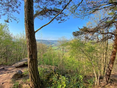
"...this hike takes hikers around the sleepy Eifel village of Obermaubach and offers beautiful views of the village with the reservoir from the heights "The "Kreuzauer Busch" hike starts and ends in Obermaubach and leads around the approx. 400 m high Bovenberg, from where there are beautiful views of the village and the reservoir. Obermaubach has almost 1000 years of history. The county of "Molbach" was first mentioned in 1152. It was named after a mill. The old German term "Mole" was derived from the Latin "molo" for mill. A moated castle, the "Castrum Molbach", probably stood near today's mill from the 12th to 17th century. The name eventually changed from Molbach to Maubach. We follow the signposts 73.