Westwall-Bunker
Stolberg
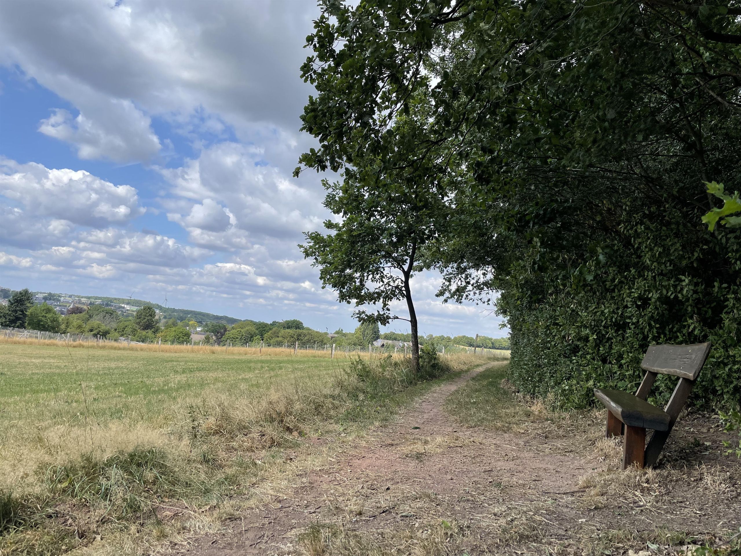
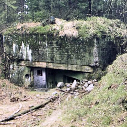
Bunker 182 and 183 – MG Casemate
The Westwall – Siegfried Line at Mausbach
The Westwall, also known to the Western Allies as the Siegfried Line, was a military defense system spread over 630 km along the western border of the German Reich. It consisted of over 18,000 bunkers, tunnels, trenches and numerous tank obstacles. The line ran from Kleve on the Dutch border to Grenzach-Wyhlen on the Swiss border.
Planning and Construction
- Starting from 1936 Hitler began planning; construction took place between 1938 and 1940.
- Initially, only isolated bunkers were built after the reoccupation of the Rhineland.
- In 1937, plans followed for fortifications between Moselle and Rhine as well as along the Upper Rhine.
- A fourth system was to extend the chain to the northern border of Belgium at the trijunction of Vaals near Aachen – beginning of the pioneer construction program in 1938.
From May 1938, the original plans for the Limes program were changed:
- Bunker types, the so-called standard constructions, were standardized to be built faster .
- By 1939, the bunkers of the Limes program were not yet finished when new standard constructions were added.
- In 1940, construction was halted after the Western campaign .
- In 1944, due to the approaching front, the facilities were reactivated, but were often technically outdated.
The Bunkers at Mausbach
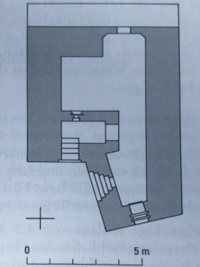
At this location were the Westwall Bunkers 182 and 183, presumably standard construction type 135 MG casemate.
- Upper part: Combat and readiness room for five men.
- Lower part: Gas lock, flanking loophole, emergency exit.
- MG combat room: Crosswise to the presumed enemy direction, for flanking machine use.
The bunkers formed, together with 43 other facilities in the Vichter and Mausbacher area (from Jägersfahrt to Burgholzer Graben), the first line of defense.
Combat Actions
During the battles in World War II, these positions were occupied by the American troops no later than September 18, 1944.
Impressions

Contact
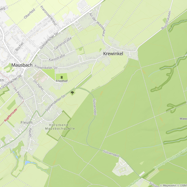
Panoramarundweg Mausbach
52224 Stolberg