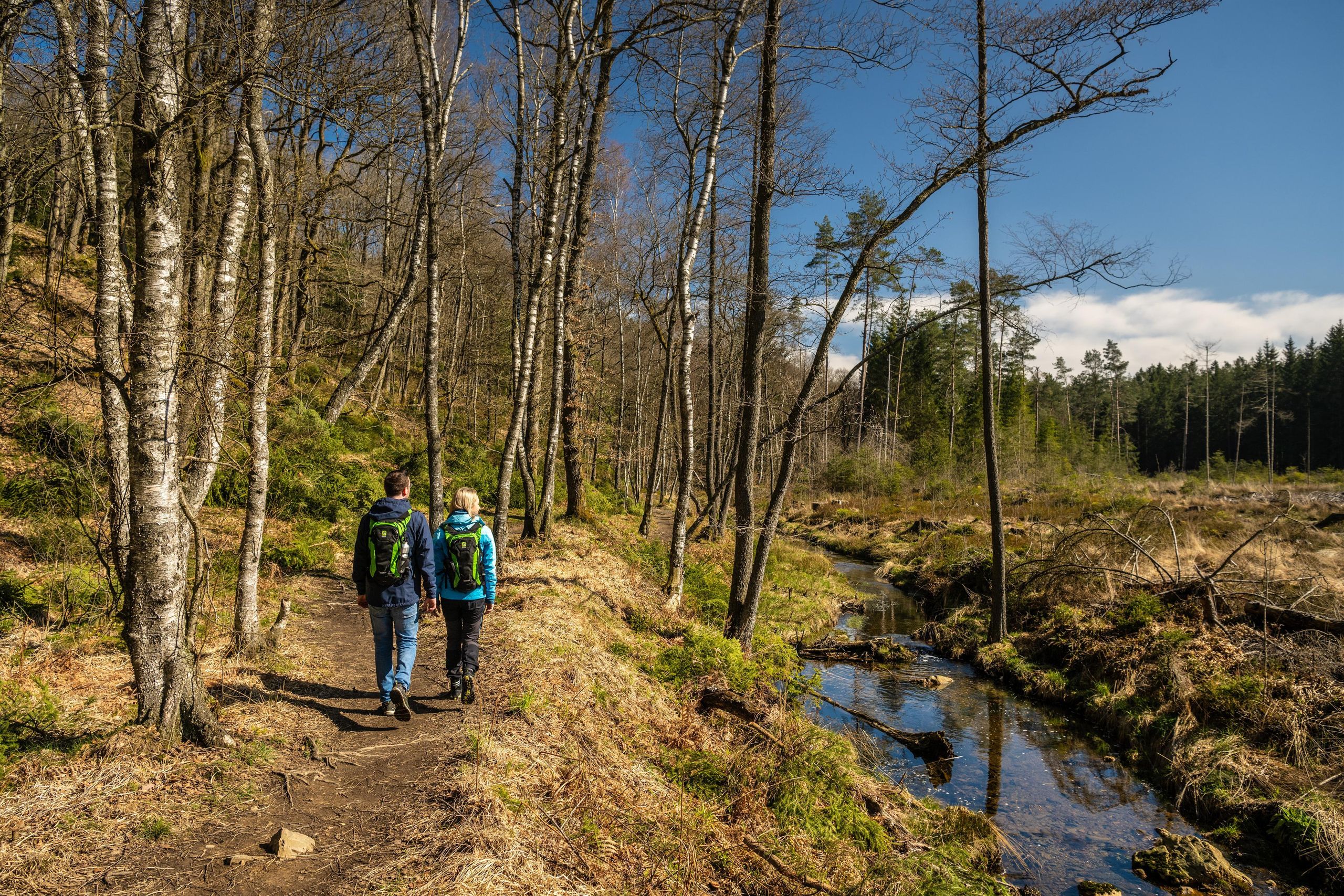
Copyright: Städteregion Aachen, Dominik Ketz
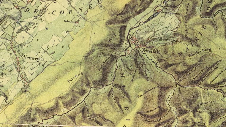
Tranchot-Karte: den Kirchweg im Gelände erkennen
Roetgen
The exact route of the Alter Kirchweg can no longer be clearly determined today. What remains are traces in the landscape—and historical maps that help us interpret them.
One of these maps is the Tranchot Map, a detailed land survey from around 1800. It shows various paths, ridges, and connections that were already in use at that time. Sections of the presumed Old Church Path can also be identified here.
There is much to suggest a route over the hills of Rott, Venwegen, the Breiniger Berg, and the Schlangenberg. This is because the climate back then was cooler and wetter than it is today. High-altitude trails were therefore considered more reliable, as water drained better there. Valleys, on the other hand, quickly became marshy and thus difficult to traverse.
Thus, the Tranchot map shows the Alten Kirchweg not as a single line, but as part of a larger network of paths. A network shaped by the landscape, the climate, and the demands of daily life.
Map perspective: Take a look around. Where does the terrain naturally slope upward? Where does water pool? And which path would you choose if you had to avoid wet low-lying areas?
This route was developed as part of the LEADER-funded project “Quality Initiative for Hiking in Roetgen and Stolberg” with support from the European Union (EAFRD) and the state of North Rhine-Westphalia.
Impressions

Contact
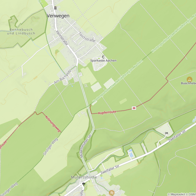
Alter Kirchweg
52222 Stolberg